Tasks
Simulation and Data Laboratory Terrestrial Systems
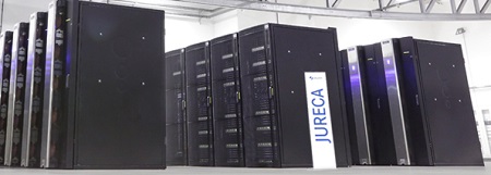
The SimDataLab TerrSys acts as an interface between the Geoverbund ABC/J
geoscience community and the Jülich Supercomputing Centre resources.
SimDataLab TerrSys offers:
- Technical support (e.g. porting of user code, provisioning of standard implementations of relevant modeling systems and related datasets, performance optimization, information dissemination);
- Coordination and help with SimDataLab TerrSys related issues of supported research projects (e.g. code maintenance, interchangeable software tools, design of data flow-paths and processing chains, pre- and post-processing, visualization, data synthesis);
- Support of Geoverbund ABC/J researchers in application for compute time;
- Participation in trainings and workshops, in particular annual HPSC TerrSys Fall School;
- Own research activities on HPSC in the geosciences (surface atmosphere coupling, regional climate change projections), national and international collaborations.
 Copyright: Forschungszentrum Jülich
Software
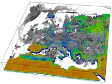
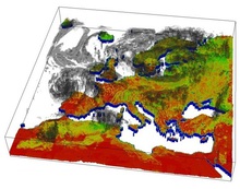
SimDataLab TerrSys manages the coupling interface of the earth system model TerrSysMP which consists of atmospheric codes (ICON, COSMO), land-surface code CLM, and subsurface code ParFlow. The three domains are coupled through OASIS3-MCT library.
Parallel watershed flow model (ParFlow)
Community Land Model (CLM, biogeophysics, hydrologic cycle, biogeochemistry and dynamic vegetation)
Terrestial System Model Platform (TerrSysMP, fully coupled regional SVA modelling system consisting of COSMO-CLM-ParFlow coupled with OASIS3-MCT))
Weather Research and Forecast Model (WRF/ARW, regional climate model)
Consortium for Small-scale Modeling (COSMO)
ICON large eddy model (ICON-LEM)


